From the Frontier Centre for Public Policy
By Ian Madsen
Ending Canada’s dairy supply management system would lower costs, boost exports, and create greater economic opportunities.
The Trump administration’s trade warfare is not all bad. Aside from spurring overdue interprovincial trade barrier elimination and the removal of obstacles to energy corridors, it has also spotlighted Canada’s dairy supply management system.
The existing marketing board structure is a major hindrance to Canada’s efforts to increase non-U.S. trade and improve its dismal productivity growth rate—crucial to reviving stagnant living standards. Ending it would lower consumer costs, make dairy farming more dynamic, innovative and export-oriented, and create opportunities for overseas trade deals.
Politicians sold supply management to Canadians to ensure affordable milk and dairy products for consumers without costing taxpayers anything—while avoiding unsightly dumping surplus milk or sudden price spikes. While the government has not paid dairy farmers directly, consumers have paid more at the supermarket than their U.S. neighbours for decades.
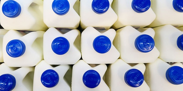
An October 2023 C.D. Howe Institute analysis showed that, over five years, the Canadian price for four litres of partly skimmed milk generally exceeded the U.S. price (converted to Canadian dollars) by more than a dollar, sometimes significantly more, and rarely less.
A 2014 study conducted by the University of Manitoba, published in 2015, found that lower-income households bore an extra burden of 2.3 per cent of their income above the estimated cost for free-market-determined dairy and poultry products (i.e., vs. non-supply management), amounting to $339 in 2014 dollars ($435 in current dollars). Higher-income households paid an additional 0.5 per cent of their income, or $554 annually in 2014 dollars ($712 today).
One of the pillars of the current system is production control, enforced by production quotas for every dairy farm. These quotas only gradually rise annually, despite abundant production capacity. As a result, millions of litres of milk are dumped in some years, according to a 2022 article by the Montreal Economic Institute.
Beyond production control, minimum price enforcement further entrenches inefficiency. Prices are set based on estimated production costs rather than market forces, keeping consumer costs high and limiting competition.
Import restrictions are the final pillar. They ensure foreign producers do not undercut domestic ones. Jaime Castaneda, executive vice-president of the U.S. National Milk Producers Federation, complained that the official 2.86 per cent non-tariffed Canadian import limit was not reached due to non-tariff barriers. Canadian tariffs of over 250 per cent apply to imports exceeding quotas from the European Union, the Comprehensive and Progressive Agreement for Trans-Pacific Partnership, and the Canada-United States-Mexico Agreement (CUSMA, or USMCA).
Dairy import protection obstructs efforts to reach more trade deals. Defending this system forces Canada to extend protection to foreign partners’ favoured industries. Affected sectors include several where Canada is competitive, such as machinery and devices, chemicals and plastics, and pharmaceuticals and medical products. This impedes efforts to increase non-U.S. exports of goods and services. Diverse and growing overseas exports are essential to reducing vulnerability to hostile U.S. trade policy.
It may require paying dairy farmers several billion dollars to transition from supply management—though this cartel-determined “market” value is dubious, as the current inflation-adjusted book value is much lower—but the cost to consumers and the economy is greater. New Zealand successfully evolved from a similar import-protected dairy industry into a vast global exporter. Canada must transform to excel. The current system limits Canada’s freedom to find greener pastures.
Ian Madsen is the Senior Policy Analyst at the Frontier Centre for Public Policy.